|
Explore JTR
- Maps
|
|
|
Explore JTR
- Maps
|
|
|
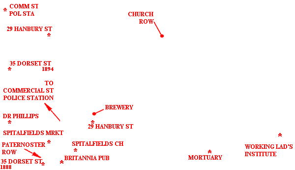
[Area Map]
[Description]
[Detail Map]
|
|
|
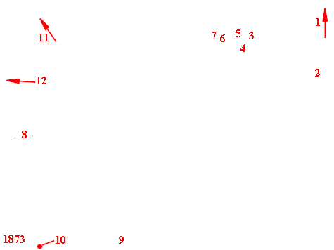
1. To Brewer's Clock and Church Row 2. Brick Lane 3. Murder Scene (backyard 29 Hanbury St) 4. Albert Cadoche (27 Hanbury St) 5. Laura Sickings (25 Hanbury St) 6. The Black Swan (23 Hanbury St) 7. Bayley's Pckg-Case Mfr (23A Hanbury St) 8. Spitalfields Market 9. Spitalfields Church 10. Brushfield St 11. To Commercial St Pol Sta 12. To Dr Phillips (2 Spital Square) |
For sources used, refer to the Time Line of the specific victim.
Many THANKS to the people who have contributed to this page:
Geographical assistance - Courtesy of The Viper.
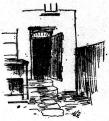
Hanbury Street image - Courtesy of New York Herald.
94 area map extract - Courtesy of Godfrey's Ordnance Maps via The Viper.
73 detail map extract - Courtesy of Godfrey's Ordnance Maps via The Viper.
88 area map extract - Courtesy of G. Bacon's New Large-Scale Ordnance
Atlas.