|
Explore JTR
- Maps
|
|
|
Explore JTR
- Maps
|
|
|
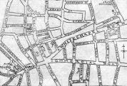
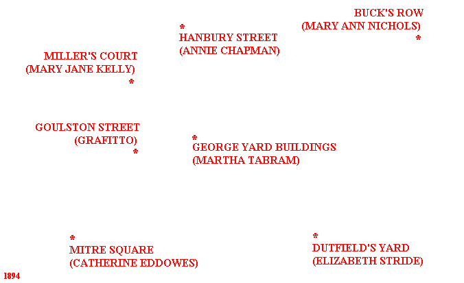
[Area Map]
[Description]
|
|
Many THANKS to the people who have contributed to this page:
Map image - Courtesy of Illustrated Police News via Alex Chisholm.
94 area map extract - Courtesy of Godfrey's Ordnance Maps via The Viper.